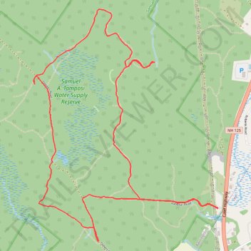
Samuel A. Tamposi Water Supply Reserve Loop Hike
- Distance: 8.4 Km
- Elevation gain: 69 m
- Maximum elevation: 96 m
- Elevation loss: 69 m
- Minimum elevation: 55 m
- Moving time: 1 h 8 m
- Moving speed: 7.3 Km/h
- Maximum speed: 14.9 Km/h
- Total time: 1 h 21 m
- Global speed: 6.2 Km/h
Interactive trail map
Trail profile
- Distance: 8.4 Km
- Elevation gain: 69 m
- Maximum elevation: 96 m
- Elevation loss: 69 m
- Minimum elevation: 55 m
- Moving time: 1 h 8 m
- Moving speed: 7.3 Km/h
- Maximum speed: 14.9 Km/h
- Total time: 1 h 21 m
- Global speed: 6.2 Km/h
About this trail
Name: Samuel A. Tamposi Water Supply Reserve Loop Hike trail, distance, elevation, map, profile, GPS track
Coordinates: 43.16002 -71.02734 43.17903 -71.00667