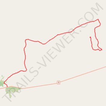
Track from Abrakurrie Cave to Mundrabilla
- Distance: 64.2 Km
- Elevation gain: 93 m
- Maximum elevation: 109 m
- Elevation loss: 173 m
- Minimum elevation: 19 m
- Moving time: 1 h 41 m
- Moving speed: 37.9 Km/h
- Maximum speed: 73.3 Km/h
- Total time: 1 h 54 m
- Global speed: 33.7 Km/h
Interactive trail map
Trail profile
- Distance: 64.2 Km
- Elevation gain: 93 m
- Maximum elevation: 109 m
- Elevation loss: 173 m
- Minimum elevation: 19 m
- Moving time: 1 h 41 m
- Moving speed: 37.9 Km/h
- Maximum speed: 73.3 Km/h
- Total time: 1 h 54 m
- Global speed: 33.7 Km/h
About this trail
Name: Track from Abrakurrie Cave to Mundrabilla trail, distance, elevation, map, profile, GPS track
Start: Kutowalla Doline, Eucla, Western Australia, 6443, Australia (-31.68224 128.49658)
Coordinates: -31.81754 128.21679 -31.63123 128.53427