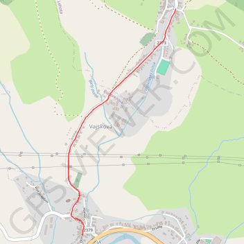
20230804_090202.gpx
- Distance: 2.1 Km
- Elevation gain: 52 m
- Maximum elevation: 494 m
- Elevation loss: 14 m
- Minimum elevation: 452 m
- Moving time: 8 m 27 s
- Moving speed: 15.2 Km/h
- Maximum speed: 33.2 Km/h
- Total time: 8 m 27 s
- Global speed: 15.2 Km/h
Interactive trail map
Trail profile
- Distance: 2.1 Km
- Elevation gain: 52 m
- Maximum elevation: 494 m
- Elevation loss: 14 m
- Minimum elevation: 452 m
- Moving time: 8 m 27 s
- Moving speed: 15.2 Km/h
- Maximum speed: 33.2 Km/h
- Total time: 8 m 27 s
- Global speed: 15.2 Km/h
About this trail
Name: 20230804_090202.gpx trail, distance, elevation, map, profile, GPS track
Coordinates: 48.81733 19.49470 48.83289 19.50597