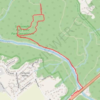
Gunpowder Falls State Park Sweathouse Area - Stocksdale Trail
- Distance: 5.9 Km
- Elevation gain: 110 m
- Maximum elevation: 123 m
- Elevation loss: 110 m
- Minimum elevation: 30 m
- Moving time: 1 h 26 m
- Moving speed: 4.1 Km/h
- Maximum speed: 5.5 Km/h
- Total time: 1 h 35 m
- Global speed: 3.7 Km/h
Interactive trail map
Trail profile
- Distance: 5.9 Km
- Elevation gain: 110 m
- Maximum elevation: 123 m
- Elevation loss: 110 m
- Minimum elevation: 30 m
- Moving time: 1 h 26 m
- Moving speed: 4.1 Km/h
- Maximum speed: 5.5 Km/h
- Total time: 1 h 35 m
- Global speed: 3.7 Km/h
About this trail
Name: Gunpowder Falls State Park Sweathouse Area - Stocksdale Trail trail, distance, elevation, map, profile, GPS track
Coordinates: 39.42653 -76.45802 39.44158 -76.44420