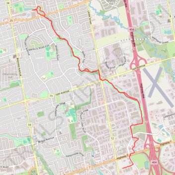
Beaver Greenway Trail
- Distance: 11.5 Km
- Elevation gain: 49 m
- Maximum elevation: 226 m
- Elevation loss: 58 m
- Minimum elevation: 188 m
- Moving time: 1 h 19 m
- Moving speed: 8.7 Km/h
- Maximum speed: 19.3 Km/h
- Total time: 1 h 20 m
- Global speed: 8.6 Km/h
Interactive trail map
Trail profile
- Distance: 11.5 Km
- Elevation gain: 49 m
- Maximum elevation: 226 m
- Elevation loss: 58 m
- Minimum elevation: 188 m
- Moving time: 1 h 19 m
- Moving speed: 8.7 Km/h
- Maximum speed: 19.3 Km/h
- Total time: 1 h 20 m
- Global speed: 8.6 Km/h
About this trail
Name: Beaver Greenway Trail trail, distance, elevation, map, profile, GPS track
Coordinates: 43.84235 -79.40873 43.87928 -79.37378
Other hiking, mountain biking, running and outdoor activity trails
Click on a trail to view its statistics, map and profile.