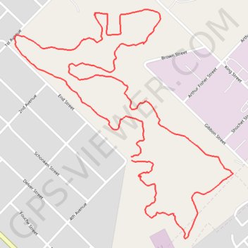
Parys wetlands loop
- Distance: 5.0 Km
- Elevation gain: 36 m
- Maximum elevation: 1,411 m
- Elevation loss: 36 m
- Minimum elevation: 1,390 m
- Moving time: 1 h 4 m
- Moving speed: 4.6 Km/h
- Maximum speed: 9.8 Km/h
- Total time: 1 h 4 m
- Global speed: 4.6 Km/h
Interactive trail map
Trail profile
- Distance: 5.0 Km
- Elevation gain: 36 m
- Maximum elevation: 1,411 m
- Elevation loss: 36 m
- Minimum elevation: 1,390 m
- Moving time: 1 h 4 m
- Moving speed: 4.6 Km/h
- Maximum speed: 9.8 Km/h
- Total time: 1 h 4 m
- Global speed: 4.6 Km/h
About this trail
Name: Parys wetlands loop trail, distance, elevation, map, profile, GPS track
Coordinates: -26.91866 27.45708 -26.90957 27.46684
Topography: Ngwathe Local Municipality topographic map, elevation, terrain